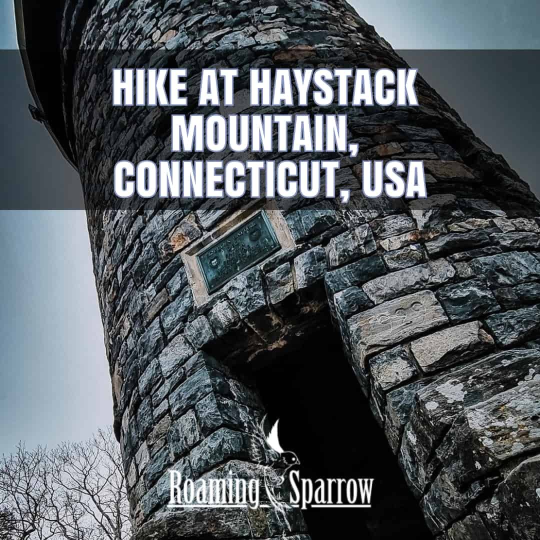
Hike at Haystack Mountain, Connecticut, USA
Wazzzzz Up friends?
Here in CT, the weather is getting chilly. I would be lying if I did not say how much I missed the rainy, but warm climate of Vietnam. That being said, I did not realize just how much I like New England and the cold weather. Something about that fresh air, the slight dry chill that fills your lungs… It makes me feel great! What about you?
Yesterday, my younger sister and I went for a hike at Haystack Mountain.
Haystack Mountain is the perfect length hike that is just difficult enough to leave you feeling accomplished, but not so much where you are struggling to get it done. For this hike, it was my little sister and 2 dogs. One small and one BIG.
Let’s get to the photos and some commentary about the hiking
Location : Haystack Mountain
- Norfolk Historic District, CT 06058
- Google Map Link : https://goo.gl/maps/JA2C13qrVLMs4VFs8
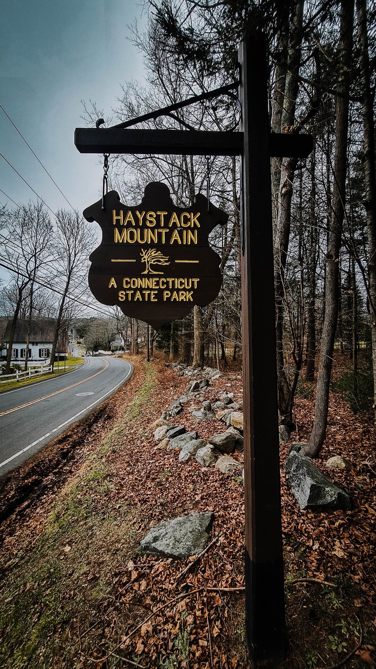
As you drive through the quaint town of Norfolk, CT, you will see this sign along the road. It’s quite easy to see.
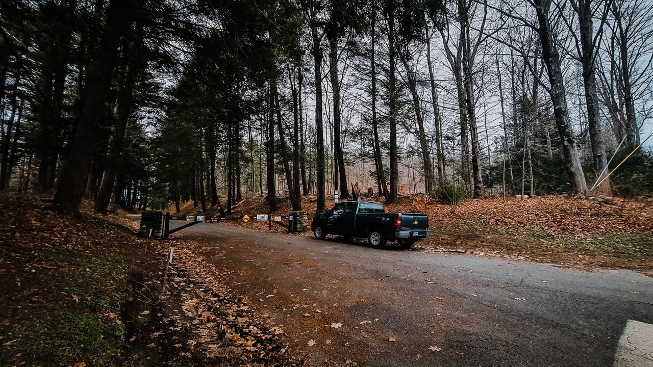
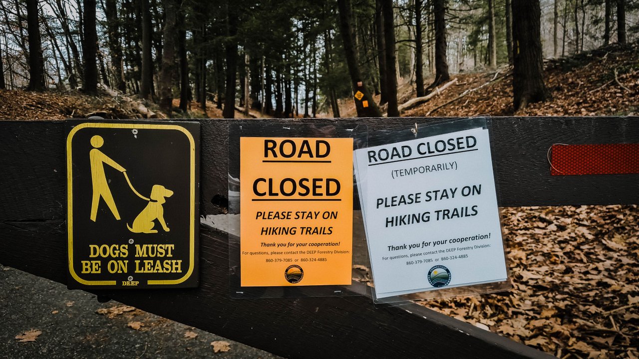
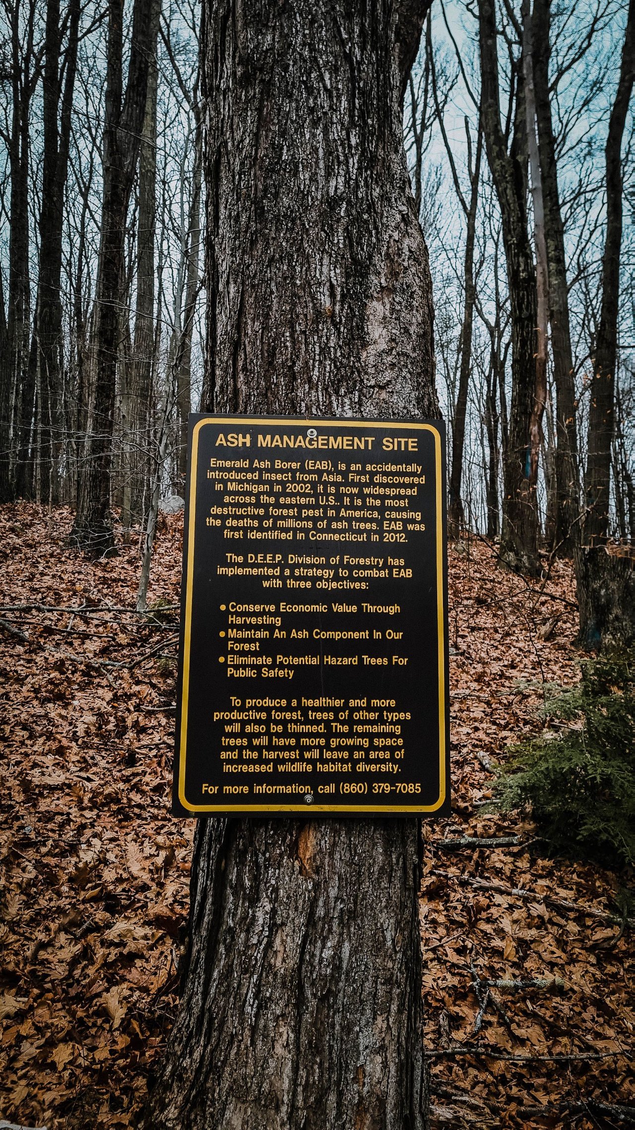
You can (*most times) drive up to the upper parking lot for a short hike or park at the base for a longer hike. However, due to the sad infection of the Emerald Ash Borer, the road is shut down as they cut down the trees in the park. If you are not aware, here is a bit about the Ash Borer.
The emerald ash borer (Agrilus planipennis), also known by the acronym EAB, is a green buprestid or jewel beetle native to north-eastern Asia that feeds on ash species. Females lay eggs in bark crevices on ash trees, and larvae feed underneath the bark of ash trees to emerge as adults in one to two years.
Source
They also listed out a few signs about the timber that is happening.
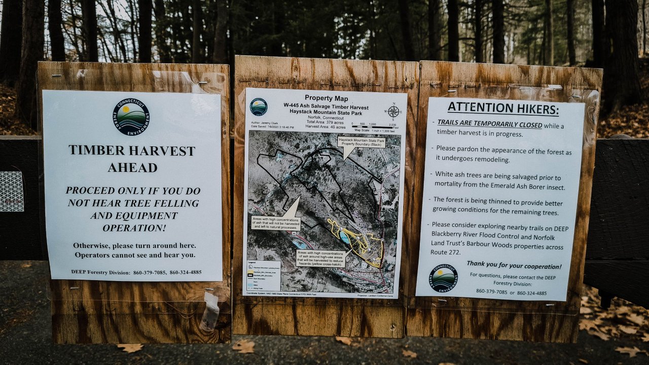
And some well-placed warning signs about what was going on.
With dogs in two, my sister and I set off on the path that is directly to the left of the bottom parking lot.
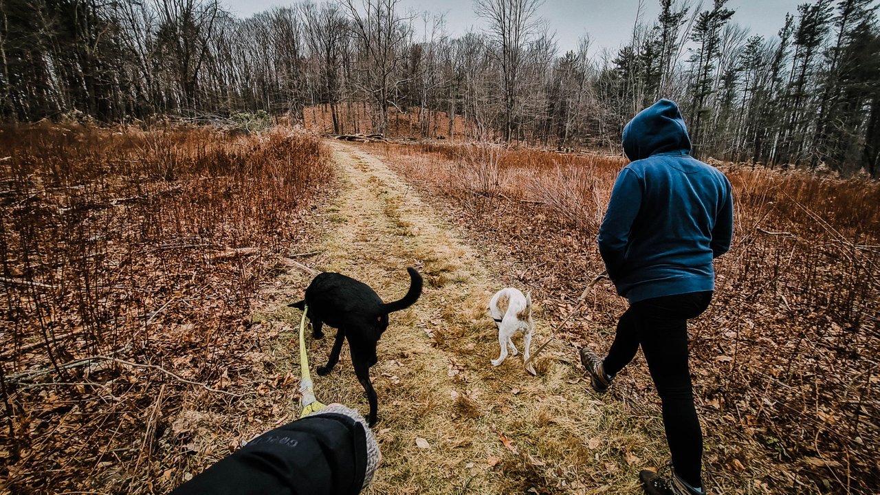
The initial walk through a field was nice.
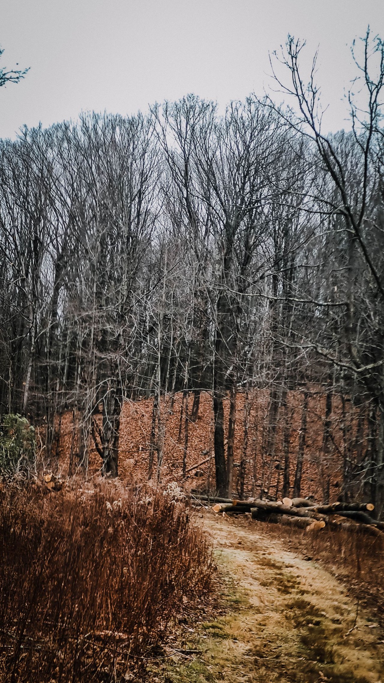
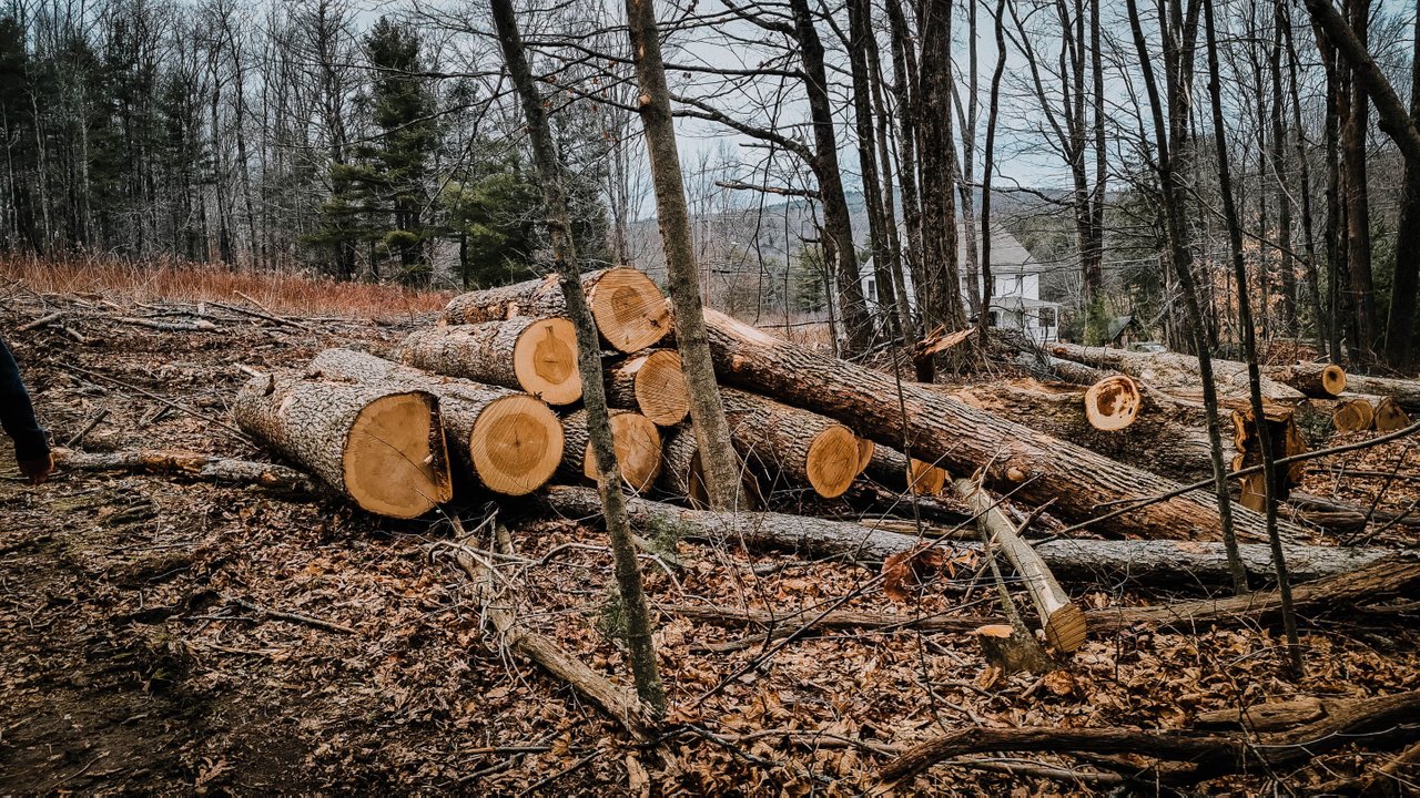
When you reached the first treeline, the ash harvesting was quite extensive. It was sad, but it makes sense. The trees will just be dead, or they are dead. So, at least the wood can be put to good use.
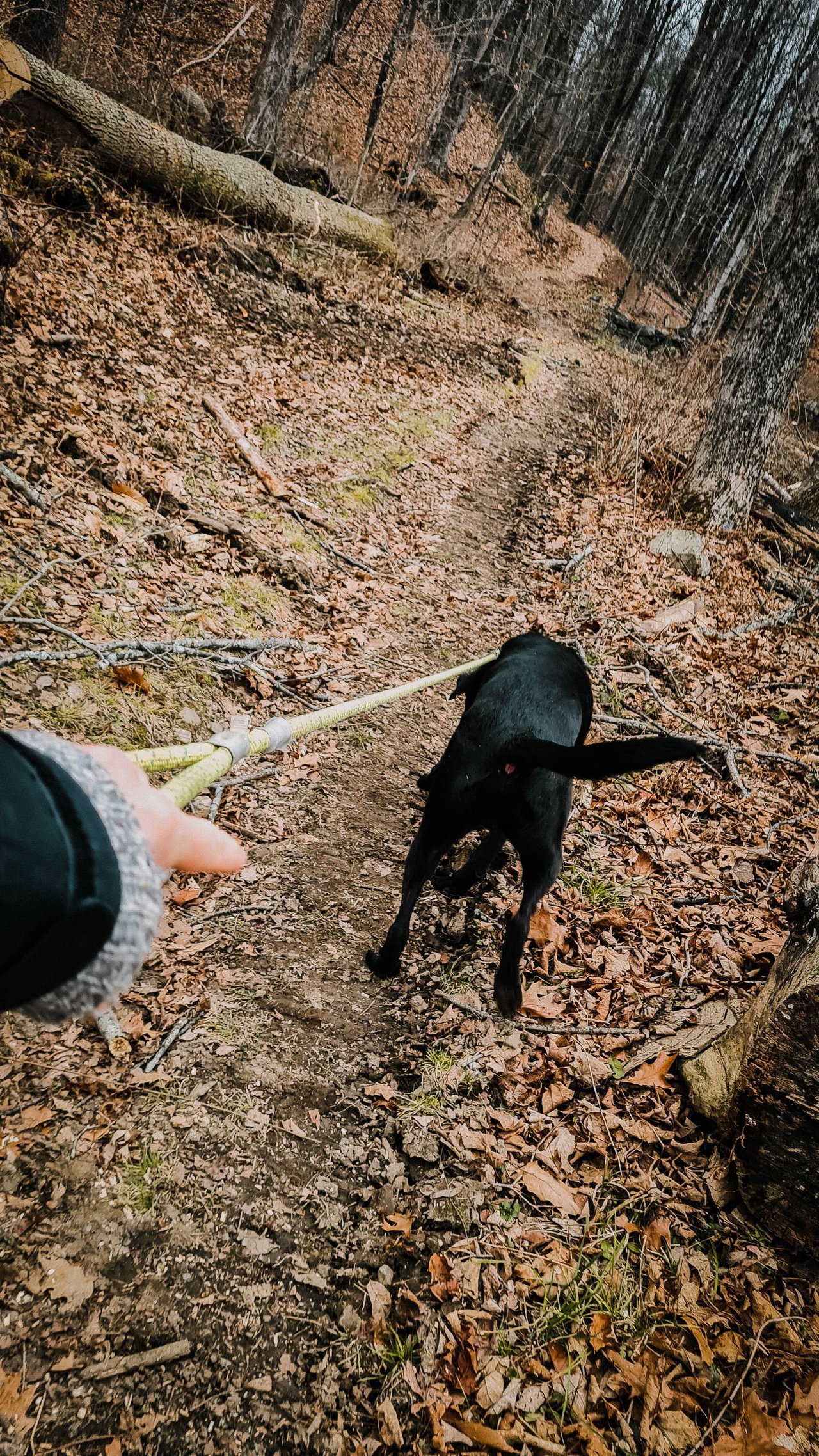
A short walk a bit further and you start to get into the deeper woods. All the while, this puppy is pulling. He was so happy to be walking in the woods today.
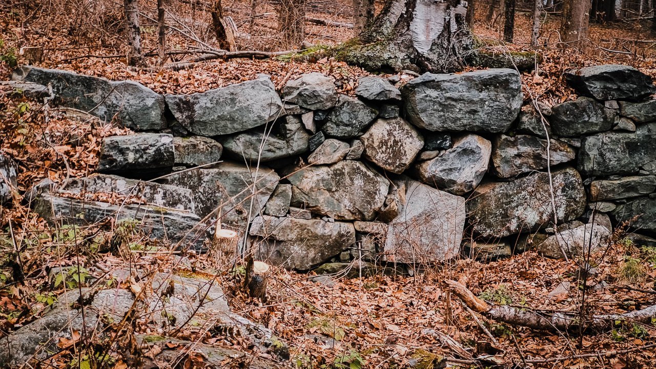
CT has a lot of long forgotten rock scapes like this. From old homes or walls that once blocked fields for cattle or grain, the echo of the past is still here.
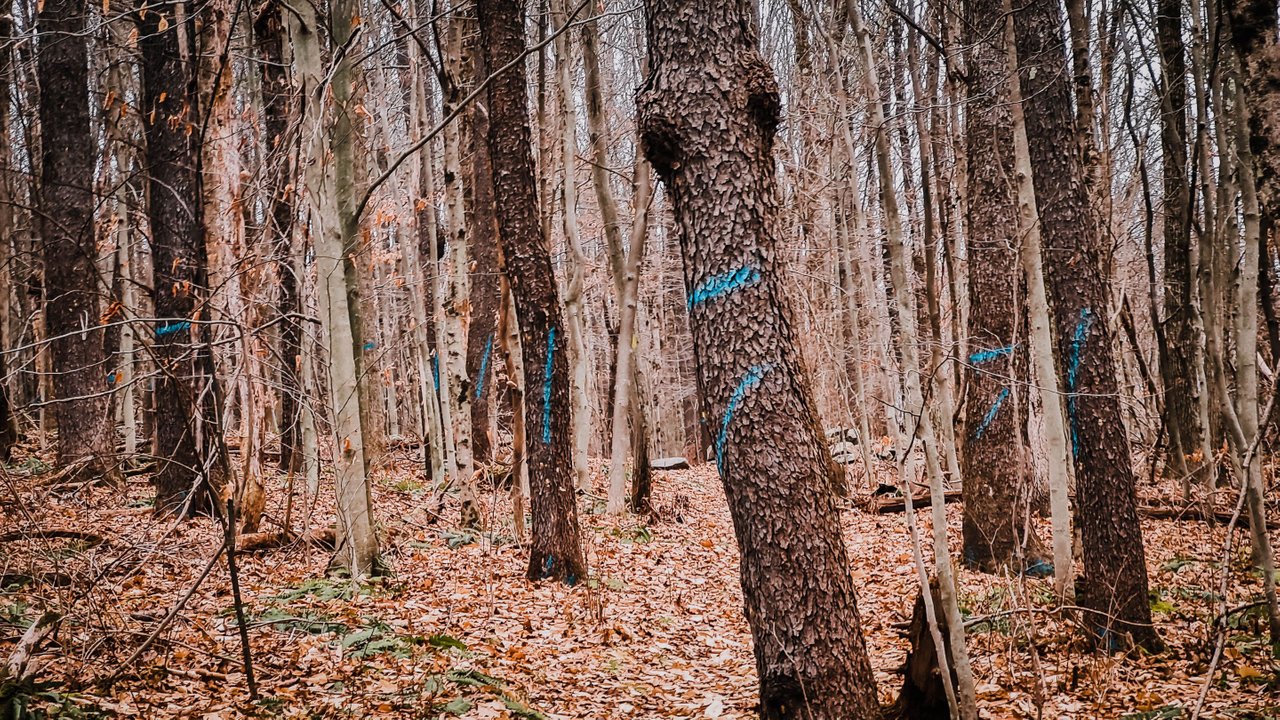
A bit more down the path, and you can see the trees that are marked to be cut. Just so many of them. The Ash Bore is a big problem as it’s not a native insect to the NE, and it kills the trees it breeds in. People are worried that after it kills all the Ash trees, it may change and move on to other types of trees.
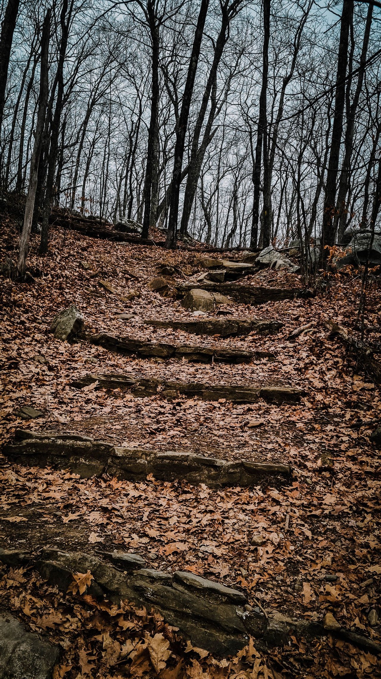
Deeper still in the woods, you see some well-made steps leading you higher onto the mountain. The top of the mountain is 1716 feet above sea level, so not that tall, but still a nice walk.
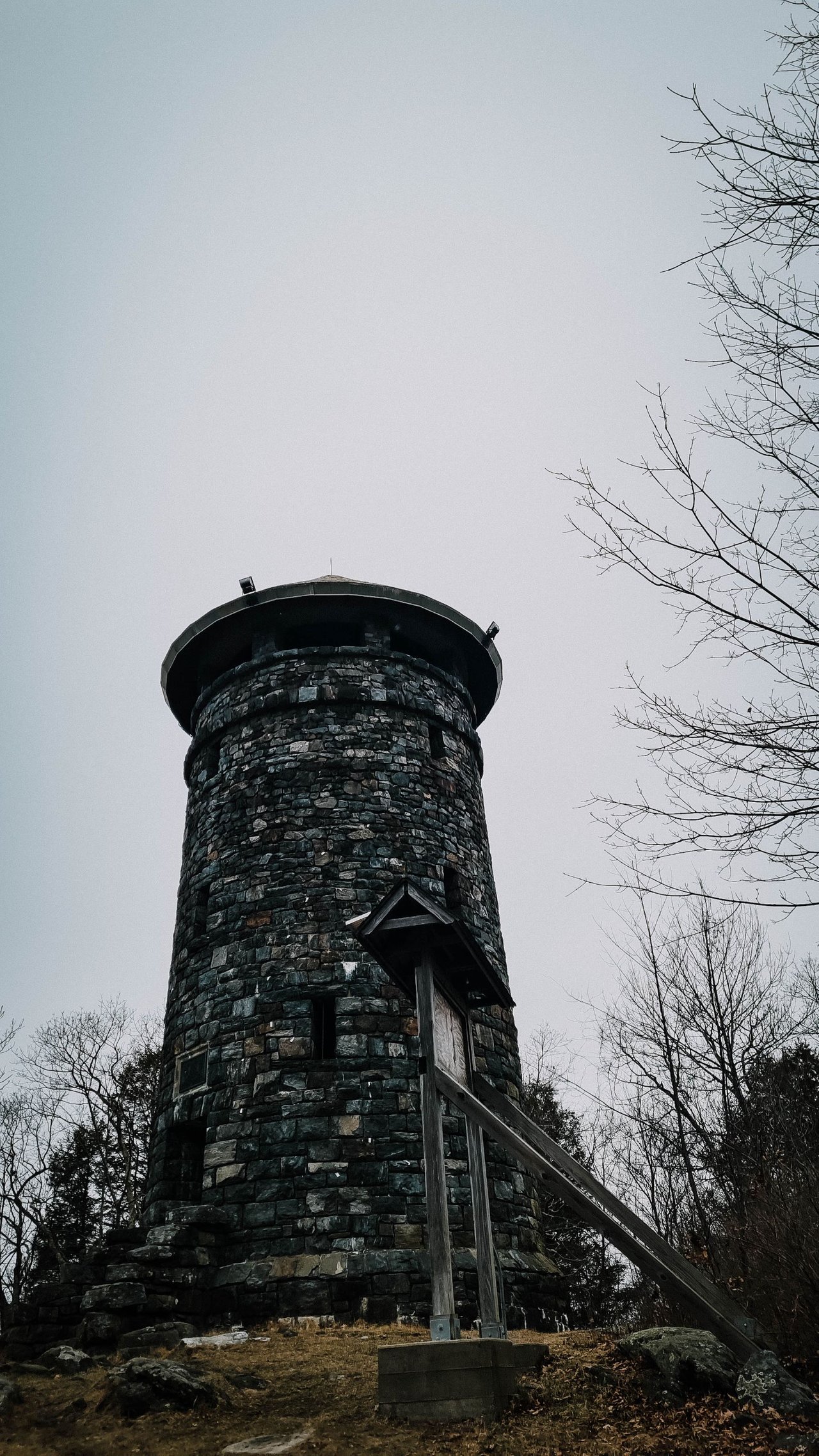
At the top, you get to this great tower. I think it was a single tower that was built to keep an eye out for troops… but I am not too sure.
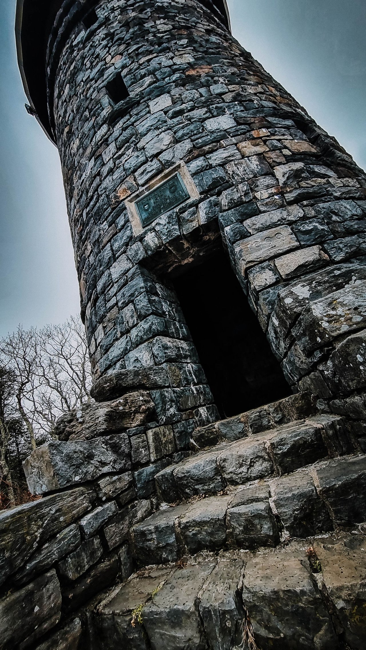
I remember as a kid when we went there, the door frightened me. Looking at it now, I can see why it would be a bit intimidating for a kid. I mean, look at it. Sorta daunting.
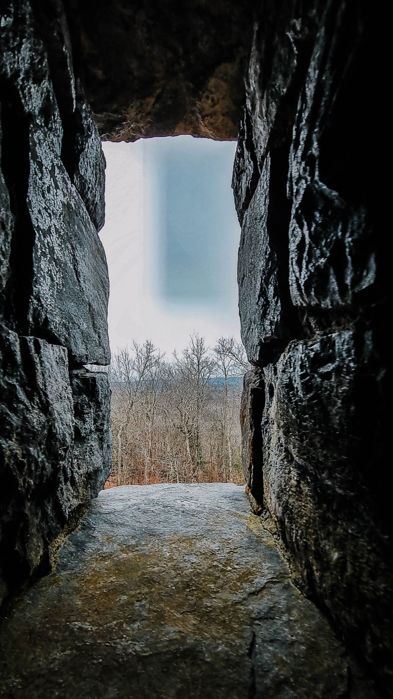
As you walk up, the windows are quite nice and let in a lot of natural light.
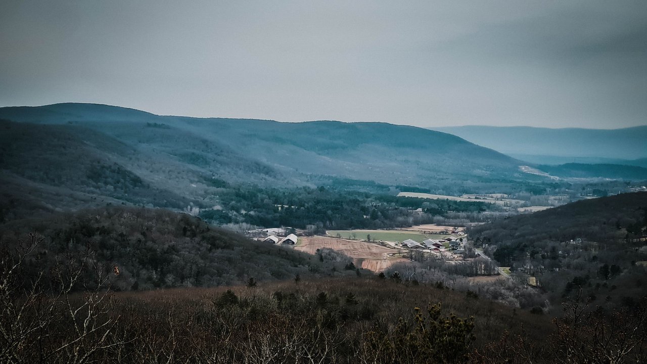
When you reach the top, you are greeted with a great panoramic view of the Berkshires, Massachusetts, New York, and Vermont.
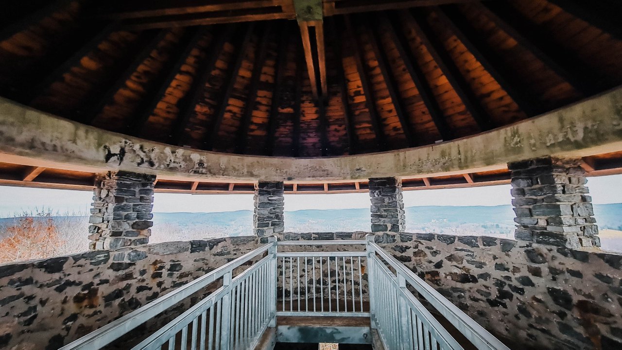
This looks North towards Massachusetts.
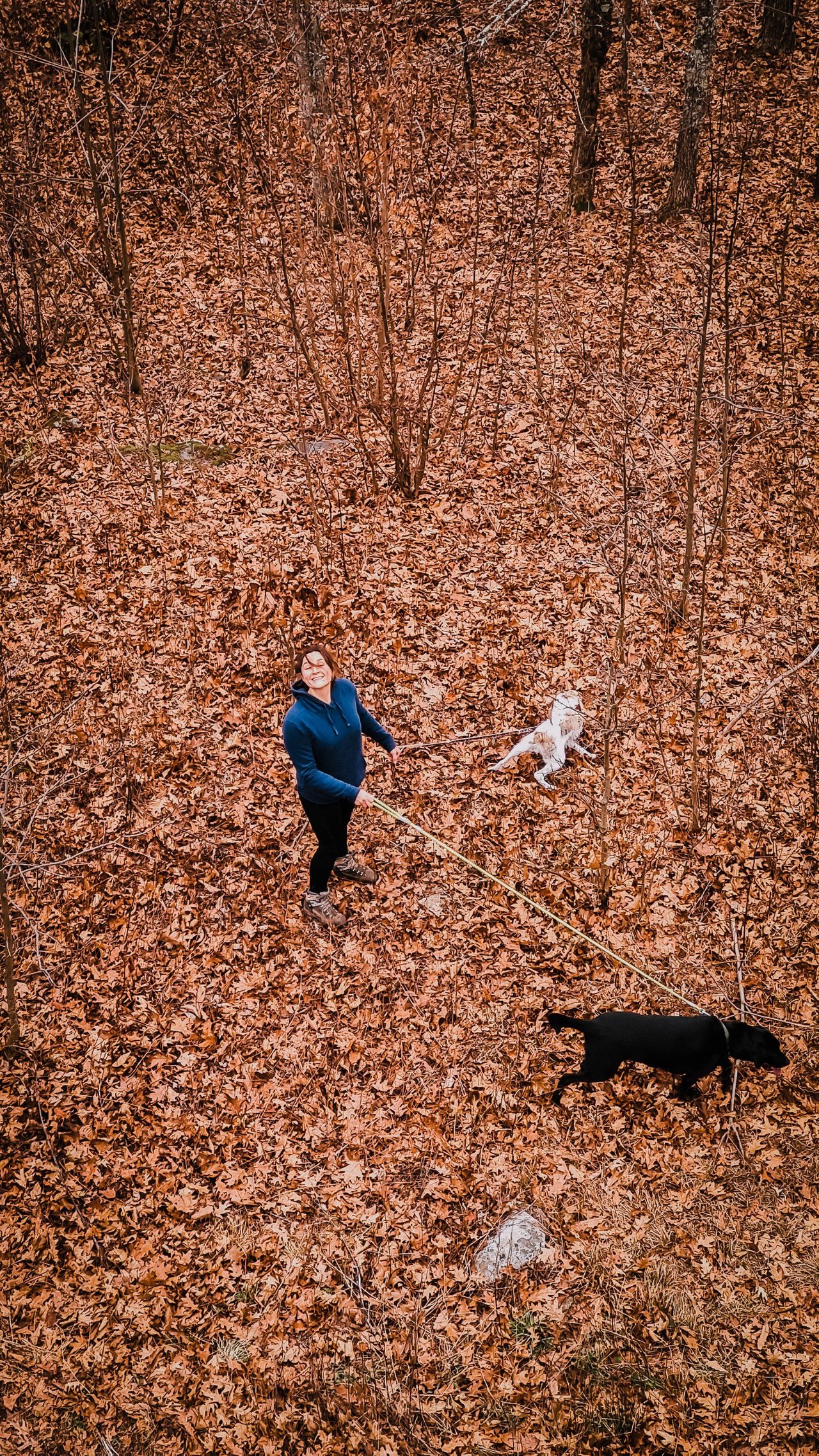
Here is the little sister and the 2 dogs.
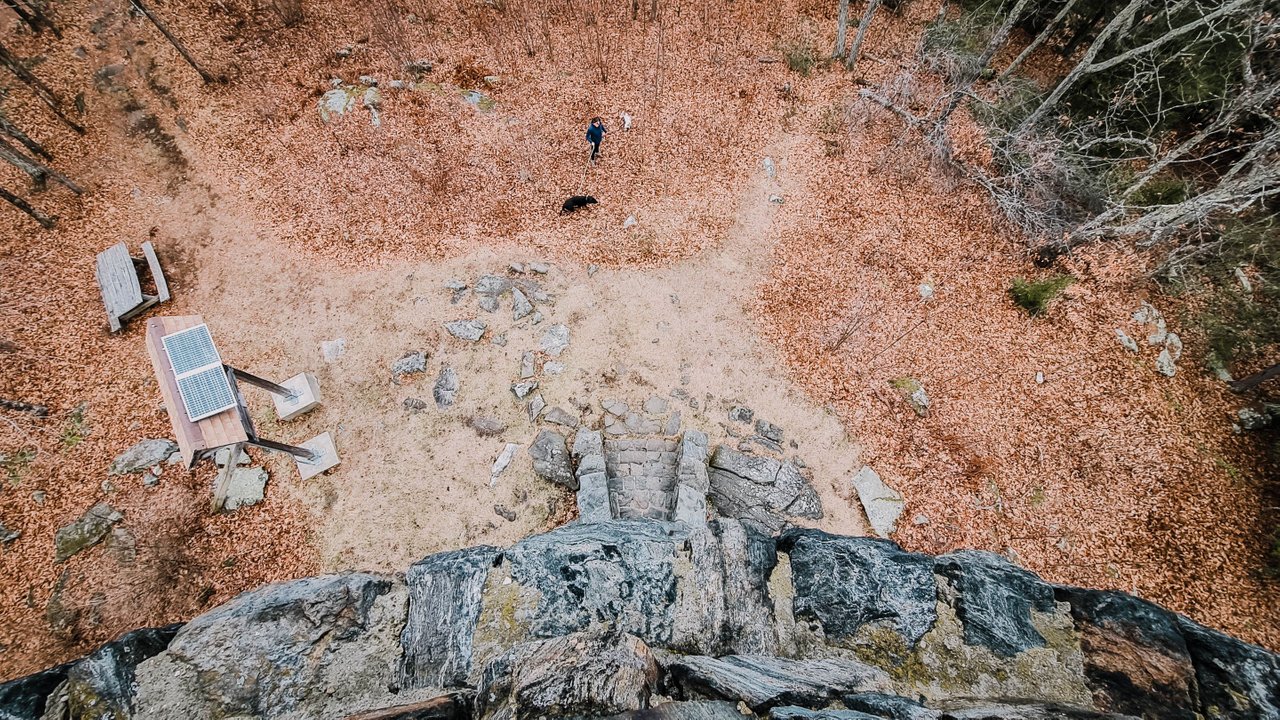
But looking down, it’s an interesting view as well. You can see the well walked paths that many hikers have taken.
The top of the tower, I believe, has been re-built as the timber looks new. Haha, we used to climb the rafters when I was a teenager.

Time to head back down the winding staircase that makes you feel like you are in a Medieval tower.

On the way down, my sister and I decided to take the road down, so this is the upper parking lot. When we got here, a bunch of deer scampered off into the woods with their white tails bounding away.
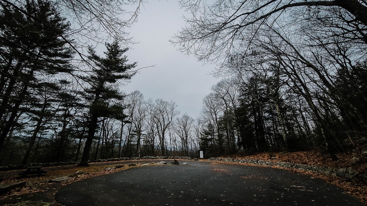
The road down was nice, no one else was there but the trees. It also started to rain a little on the way back, so, perhaps a great time to start and finish the hike.
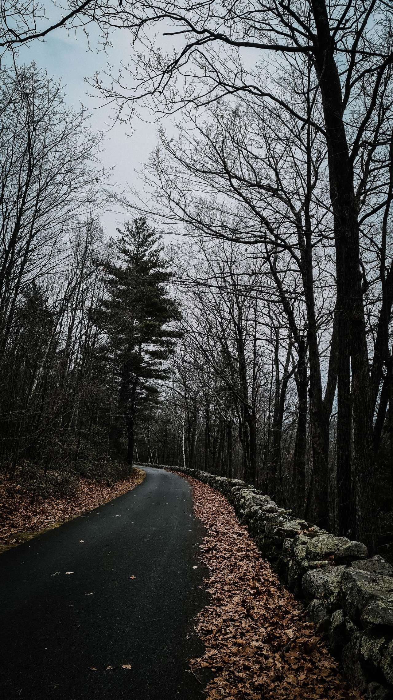
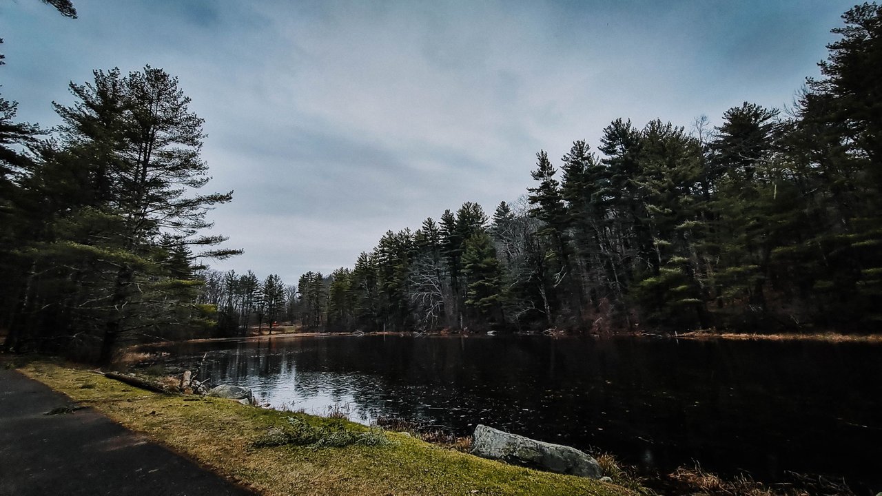
It was 1.5 miles down. At the base is this nice lake. While the photo looks like a nice day, it was overcast with a little drizzle coming down.
In the parking lot again, they had a larger sign about the Ash harvest going on. So sad, but it has to be done. :/
Well, there you go. Thank you for taking a look at these photos of the mountains. I hope they inspire you to come and visit. The views are spectacular, and the fresh air is invigorating.
Come back tomorrow for another story from New England.
Cheers
Did you enjoy this hike? If so you may enjoy reading about this hike : Horse Guard Connecticut State Park

